One of the things that makes Chicago special is our connection to water. We can see the source of our potable drinking water – Lake Michigan – lapping gently or beating harshly against the shore line. We know and love Lake Michigan for being our drinking water source. The rest of our waterways would be healthier too, if we saw the Chicago River as public space in our city.
Most major cities rely on a vast network of reservoirs, canals, aqueducts (not just for the Romans anymore!), lakes, and watersheds to get water out of their taps. Here’s the system that New York relies on for their potable water (via NYTimes.com). It must be hard for city residents to feel connected to a labyrinthine water system like that.
Chicago is deeply connected to our lake shore
Here in Chicago we run, picnic, cycle, create melees next to, and boat, surf, windsail and fish (brave souls) in Lake Michigan and, to a lesser extent, the Chicago River. The connection we have to our elixir in Chicago is a huge asset because, if you’re a Chicagoan, you probably know your water comes from Lake Michigan. All that activity on the lake’s edge keeps us aware of its importance to our well being and health.

The importance of Chicago’s waterways is so key to our city identity that that its woven into our flag.
But we’ve been cut off from the River
The reversal of the Chicago River in 1900 disconnected it from Lake Michigan and our potable water infrastructure. This was no accident. At that time, we chose to keep dumping our sewage into the river (but direct away from the source of our drinking water). That separation has allowed Chicago to push the river out of mind and forget what an important part of our wider ecosystem it still is.
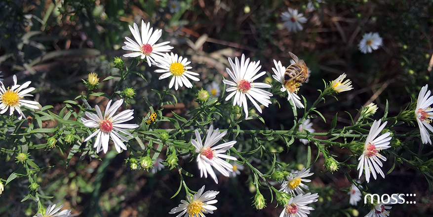
While the water in the river eventually flows to St. Louis, the riparian area creates a habitat for birds, fish, reptiles, and even mammals (I saw a beaver in the river near Goose Island last month!). Daniel Burnham’s Plan for Chicago intended to link the City to its hinterlands with a network of parks and natural waterways. While Burnham’s linear park concept has only partially been realized, the river can act as the migratory connector in the region. The key to this becoming a reality is maintaining and improving the river for all living things and improving Chicagoan’s access to it.

Today, the river is far from healthy. The neon green dye poured on St. Patrick’s day is not the worst thing we dump into our river. The Chicago River was added to American Rivers’ 2011 list of America’s Most Endangered Rivers due to the estimated “1.2 billion gallons of partially treated human and industrial waste” flowing into it, daily. That listing, while grim, will help raise awareness and encourage Chicagoans to make real changes in the way we see, and care for, our river.
The Chicago River as Public Space
We had all this in mind, when we proposed the Chicago River Kayak Park project (now on exhibit at the Chicago Architecture Foundation Gallery). Our proposal for a floating city park focuses on putting people directly in touch with Chicago’s river. We started with the North Branch Canal – the man made waterway east of Goose island – as a segment of the river that currently gets no love, and yet has so much potential for eco-friendly development.
Human contact with the river increases awareness of our water system. The kayak park adds public open space in an area of the city without much open space left to give.
Mayor Emanuel, while promoting Park District improvements earlier this year, called the Chicago River our ‘next great recreational park’. There are a host of projects already constructed or planned by the Emanuel Administration, including the expanded Riverwalk downtown, new boat houses, expansion of the Fullerton lakefront. We hope the kayak park becomes an integral park of the plan.
Viewing the Chicago River as public space will always benefit our waterways, making us care more deeply for the river and its future!