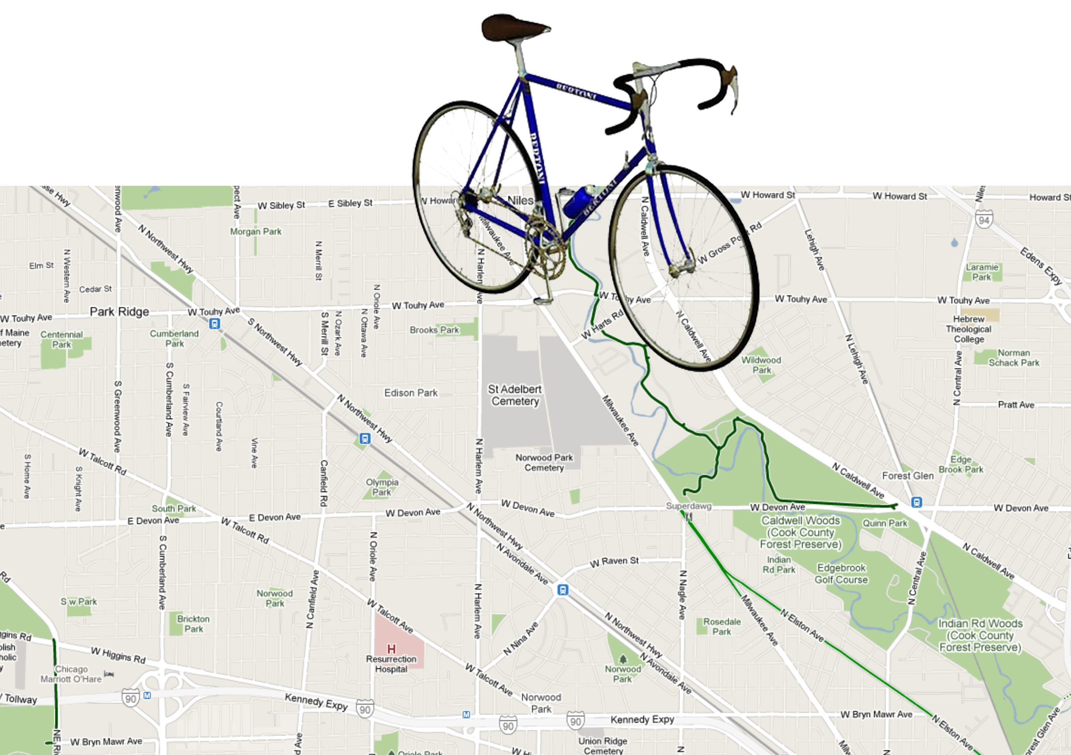
Even if real streets are not becoming any more hospitable to cyclists, the virtual ones sure are. Today everyone’s favorite online map rolled out bicycling navigation as a native feature of Google maps. The bike routing is available in 150 cities, Chicago included, and also shows bike trails in addition to bike-friendly autoways. As a test I looked up my favorite local ride, Northwest on Elston to the Milwaukee/Devon/Superdawg intersection to pick up the North Branch Trail (unfortunately, there are no trail labels on Google maps yet) for a mostly uninterrupted, 16-mile jaunt to the Chicago Botanic Garden in Glencoe, which I just noticed is mislabeled as ‘Botanical’ on Google maps. Conversely, I looked up the most death-defying bike route in San Diego, this bike lane abruptly ends at a freeway off ramp just north of Little Italy on India Street. Biker Beware.

However altruistic it might seem for a company based in the suburban nightmare that is Mountain View, California to introduce bicycle directions, don’t get your hopes up. It took over 50,000 online signatures and some pressure (oops, I mean collaboration) from the Rails-To-Trails Conservancy to unleash this new navigation tool. Nonetheless, it does get me excited about what other information could be part of Google maps. I could see a day where all GIS (Geographic Information Systems), which is for the most part, developed on a county by county basis, be integrated into a nation/continent-wide source for watershed, soil quality, and zoning information.
But I digress. As evidenced in our PARK(ing) Day installation, the public right-of-way is not solely for the use of automobiles. It belongs to all of us no matter our form of transportation, whether it be bike, foot, scooter, horse, pogo stick, etc. Therefore, right-of-ways in a sustainable urban landscape can no longer just be auto thoroughfares, but eco-systems that balance the needs of all the public, not just the auto-inclined. Now that most of Chicago’s bicycle parking has been eliminated thanks to that extremely popular parking meter sellout, we sure could use some permanent bicycle infrastructure.
While normal automobile parking is a painful task that most people rank on the enjoyability scale near shaving, cyclists tend to enjoy their choice of transportation and should have parking to match that sensibility. Our concept is to expand the PARK(ing) Day experiment to a permanent bicycle comfort station installation. The sidewalk is already cramped enough in most places with trees, RedEye kiosks, people, mailboxes, parking meter boxes, and during the summer, sidewalk cafes. So it makes sense to me to move the bike parking into the street with the rest of the transportation storage. As a result, what was once 2 auto parking spaces could become about 30 transport parking spaces. Furthermore, if I was dining at one of those sidewalk cafes I sure would be in a better mood for eating if I were next to bikes, rather than smelly cars. The bicycle comfort station could also serve a few more purposes, like remediation of stormwater, growing food, and more trees (which would shade the roadway).
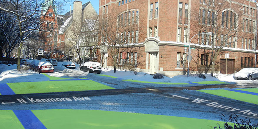
Below is a reimagined right-of-way at Irving Park Road near Southport Avenue, which is one of the most inhospitable pedestrian landscapes in the area. The proposed scheme would replace one auto-parking space with 15 sheltered bike parking spaces, a pedestrian curb extension to shorten the distance needed to cross the Nile-wide Road, an elevated herb planter (for the neighborhood cafes), and a rain garden to accept stormwater runoff from the street. The rain garden planter will divert runoff which would otherwise be headed for Chicago’s elaborate stormwater processing system, all while producing a beautiful and walkable streetscape. If we are to really encourage alternative forms of transportation we will need to create a comfortable and pleasant supportive infrastructure.